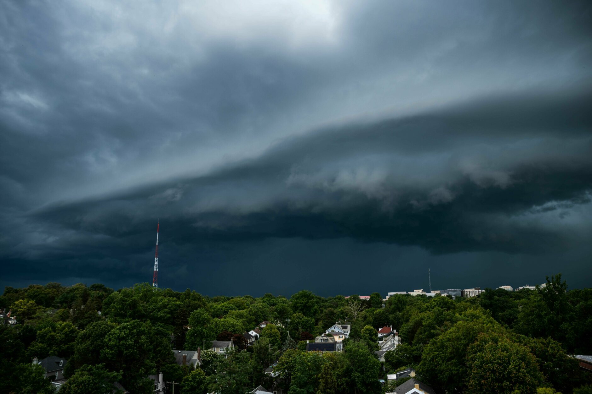
10:20 p.m. — Storm threat diminishing; small tornado may have touched down near Tysons Corner
One last batch of strong storms is passing through far northern Montgomery County and points north during the next 30 minutes or so. But otherwise storms have weakened, there are no severe warnings in effect, and the severe thunderstorm watch for the area has expired.
There is a chance a small tornado touched down earlier near Tysons Corner (see below). The National Weather Service will have to confirm by assessing any damage, such as that seen at the gas station also pictured below.
9:05 p.m. — All warnings cancelled for now, more storms could be on the way
The tornado and severe thunderstorm warnings issued earlier for the DMV have been cancelled. Still watching heavy rain, lightning and gusty winds moving through northern D.C., the north side of the Beltway, and along I-95 between D.C. and Baltimore. All this activity is moving east. Another batch of storms is now entering central Fauquier County and heading east-northeast toward the Beltway, where it could arrive in about 20-30 minutes.
8:50 p.m. — New TORNADO WARNING in northern DC and nearby areas of Virginia and Maryland
A new TORNADO WARNING has been issued until 9:15 p.m. for northern D.C. and areas just across the D.C. border in Virginia and Maryland, including around McLean and Chevy Chase. See red box in tweet below.
8:40 p.m. — Tornado warning in Fairfax County is CANCELLED
The tornado warning has now been cancelled. The severe thunderstorm warning described below remains in effect until 9 p.m.
8:24 p.m. — TORNADO WARNING in northern Fairfax County until 8:45 p.m.
A possible tornado was located over Chantilly of Centreville at 8:21 p.m. and moving east. Locations under the tornado warning that could be impacted by the storm include Dunn Loring, Belleview and West Mclean. Move to a basement or an interior room on the lowest floor if you are in the warning area.
8:22 p.m. — Severe thunderstorm warning for D.C., around most of Beltway, and central Fairfax County
The tornado warning described above is embedded within a larger severe thunderstorm warning until 9 p.m. that covers D.C., areas around the Beltway in Montgomery and Prince George’s counties, and westward through central Fairfax County. Damaging wind gusts near 60 mph are possible in the warning area. Stay indoors until this passes.
4:40 p.m. — Radar is quiet but showers and storms to increase with time
Aside from some passing showers west and southeast of Washington, very little rain has developed over the region so far. Nevertheless, it has been quite windy, with frequent gusts over 40 mph.
Into this evening, we do expect to see showers and storms increase. Any that do, could produce locally damaging winds and has a slight chance to produce a tornado.
We still think the best chance of showers and storms, which could be locally intense, will come when the cold front comes through between roughly 8 p.m. and midnight.
2:10 p.m. — Severe thunderstorm watch issued until 10 p.m.; a tornado or two possible
Anticipating the storms through this evening, the National Weather Service has issued a severe thunderstorm watch for the entire region through 10 p.m.
“Thunderstorms will continue to increase in coverage and intensity this afternoon and spread across the watch area,” writes the National Weather Service Storm Prediction Center. “The strongest cells and lines will pose a risk of damaging wind gusts and a tornado or two.”
In the D.C. area, we may see gusty showers and storms start to increase around 5 p.m. and continue intermittently into the evening. They may be hit or miss.
A severe thunderstorm watch means conditions are favorable for severe storms, but not a guarantee and that you should stay alert. If a severe thunderstorm (or tornado) warning is issued, it means a storm is imminent for your location and you should seek shelter immediately.
The Weather Service also increased the region’s storm risk level from “slight” (level 2 out of 5) to “enhanced” (level 3).
To our south, developing storms have already resulted in tornado warnings on the west and north side of Richmond. At this point, we have not seen reports of a confirmed tornado or damage.
Note that while our discussion below indicates the most intense storms are probable later this evening when the cold front passes, showers and storms developing ahead of it this afternoon and evening could be severe and produce damaging wind gusts and perhaps a brief tornado.
We will post updates if severe weather moves into the area.
Original article from 1:20 p.m.
After an outbreak of severe weather in the South on Wednesday into early Thursday, the cold front responsible for the dangerous storms is charging toward the East Coast. As the front encounters mild, humid air surging northward, strong to severe thunderstorms may erupt in the Washington region, mostly this evening and tonight.
The Storm Prediction Center (SPC) has placed much of the eastern United States in a slight risk zone for severe thunderstorms. This is Level 2 out of 5 on the severity threat scale.
The main threat with any storms will be damaging winds, although a short-lived tornado or two isn’t out of the question. It’s possible that the showers and storm pass through parts of the area without much fanfare. Although severe storms aren’t a sure thing, it would be wise to remain weather aware through late tonight.
Ahead of any thunderstorms, strong winds from the south — gusting up to 50 mph — have prompted a wind advisory for the region until 8 p.m.
“Gusty winds could blow around unsecured objects,” the Weather Service writes. “Isolated tree damage and a few power outages may result.”
OVERVIEW
OnMyWay Is The #1 Distracted Driving Mobile App In The Nation!
OnMyWay, based in Charleston, SC, The Only Mobile App That Pays its Users Not to Text and Drive.
The #1 cause of death among young adults ages 16-27 is Car Accidents, with the majority related to Distracted Driving.
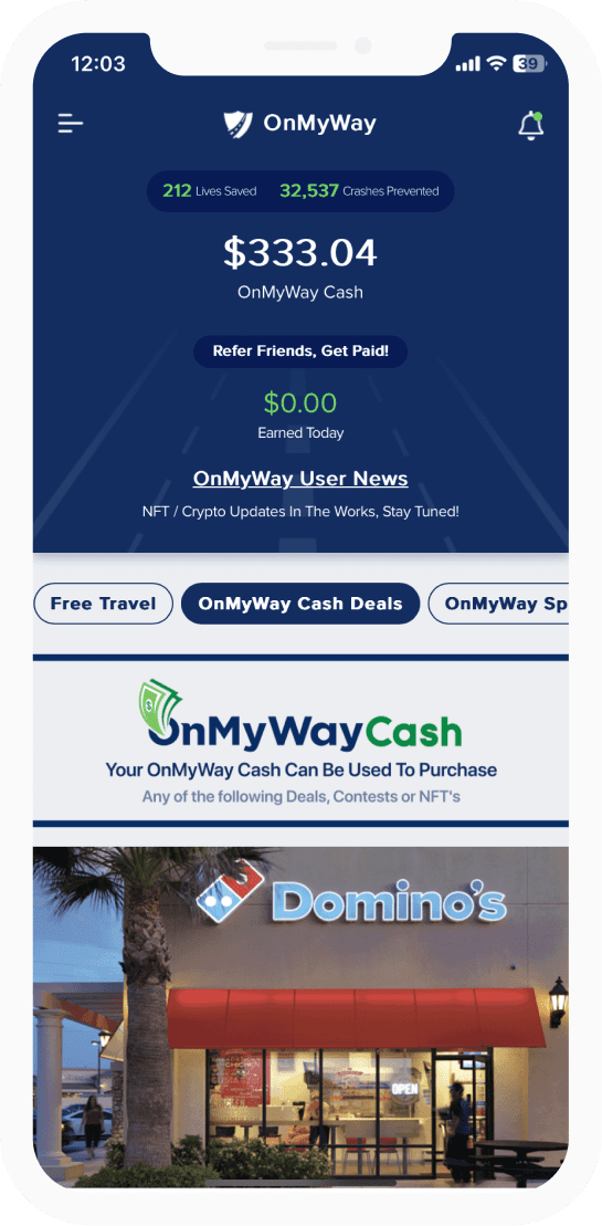
OnMyWay’s mission is to reverse this epidemic through positive rewards. Users get paid for every mile they do not text and drive and can refer their friends to get compensated for them as well.
The money earned can then be used for Cash Cards, Gift Cards, Travel Deals and Much, Much More….
The company also makes it a point to let users know that OnMyWay does NOT sell users data and only tracks them for purposes of providing a better experience while using the app.
The OnMyWay app is free to download and is currently available on both the App Store for iPhones and Google Play for Android @ OnMyWay; Drive Safe, Get Paid.
Download App Now – https://r.onmyway.com
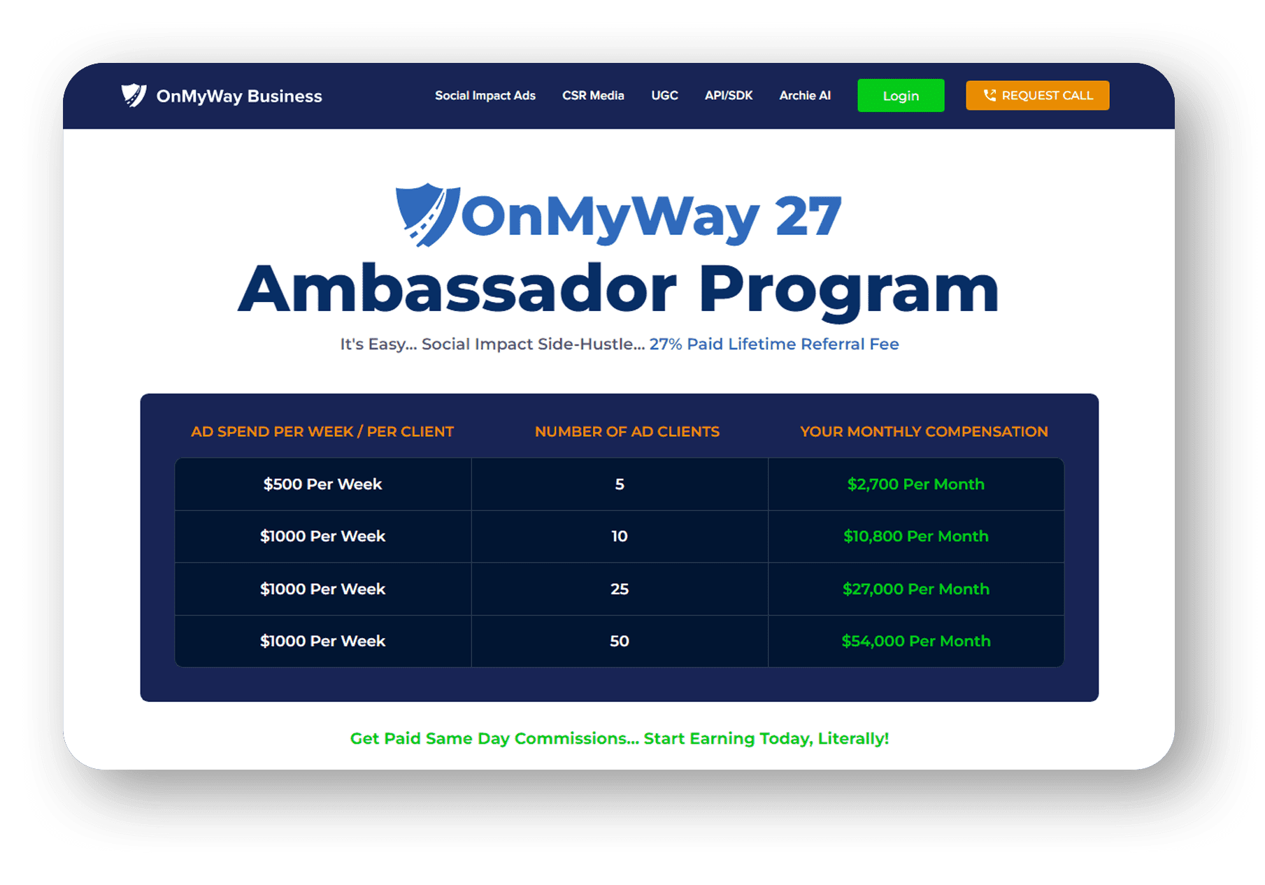
Sponsors and advertisers can contact the company directly through their website @ www.onmyway.com.

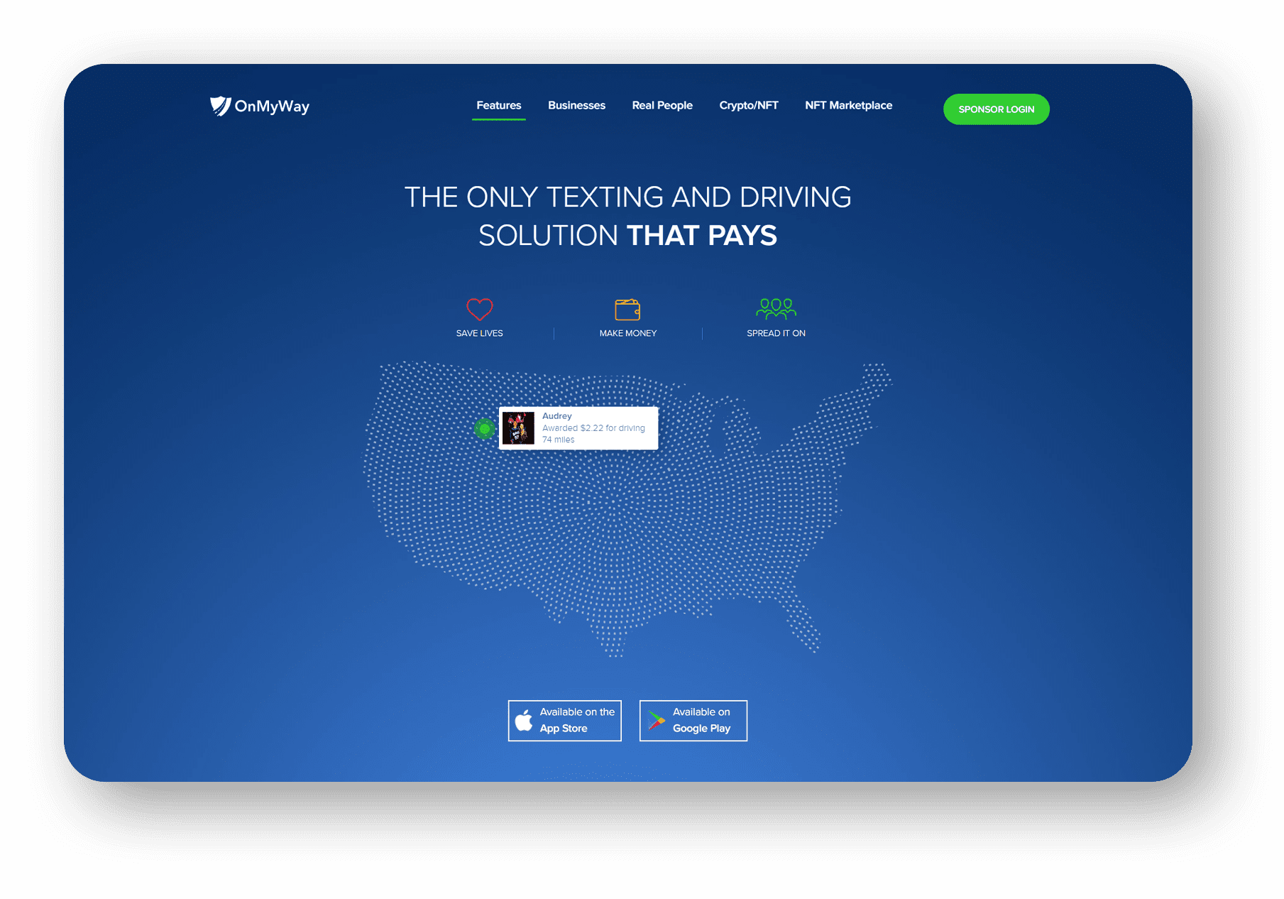
OnMyWay is the Only Texting and Driving Solution That Pays
Trusted and 


