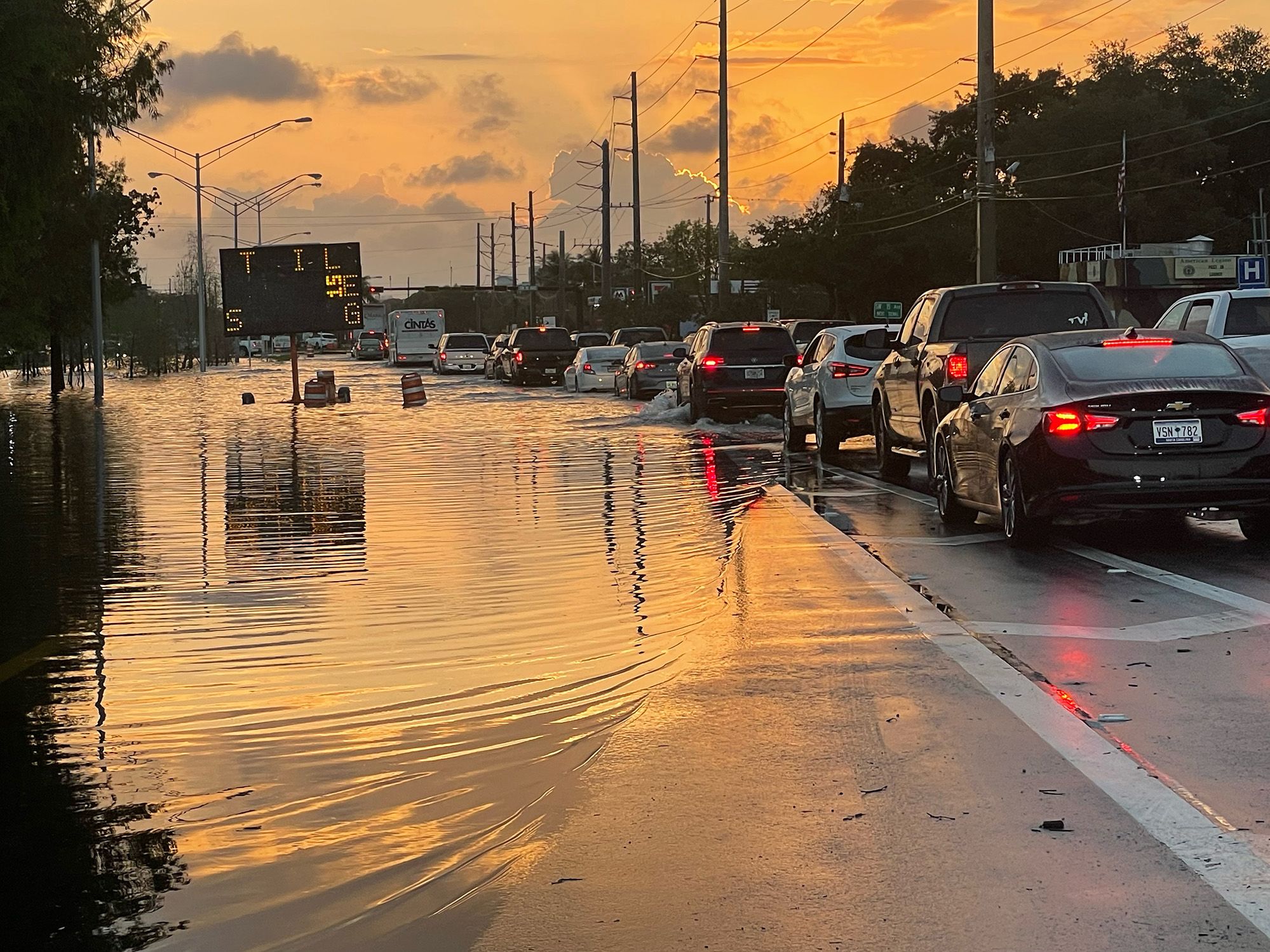
Heavy rains prompted the National Weather Service to issue a flash flood emergency for Broward County, Florida, after storms dumped more than a foot of rain on some areas of South Florida.
Many streets turned into lakes across Fort Lauderdale Wednesday and Thursday when a historic volume of rain exceeding 2 feet inundated the South Florida coastal city. The flooding shut down the Fort Lauderdale-Hollywood International Airport.
The airport tweeted about 7:50 a.m. Friday it still plans to reopen at 9 a.m., as it had hoped earlier.
“Travelers are advised to check with their airlines for updated flight times BEFORE coming to the airport,” the tweet said.
Surrounding areas were also lashed with well above a foot of rain, leading to rapid flooding that trapped residents, made driving miserable for motorists and frustrated air travelers who could not leave the airport.
Much of Wednesday’s rain at a couple of weather stations – up to 20 inches – fell within six hours, reported weather service meteorologist Pablo Santos. Such an extreme rain amount has only a 1 in 1000 chance of occurring in Fort Lauderdale in any given year, Santos said.
Many locations in the city and surrounding Broward County received more than 11 inches.
More rain than some hurricanes
Florida is prone to storms that dump large sums of rain (that happens when you’re a peninsula surrounded on three sides by water).
Southerners, especially Floridians, are used to heavy rain. The state juts out like a hitchhiker’s thumb into the warm, moisture laden air of the Atlantic Ocean and the Gulf of Mexico, a conveyor belt for storms.
Rain falls by the feet during hurricanes and comes down by the inches during afternoon thunderstorms. The rainfall record during Hurricane Ian last fall was 26.95 inches.
Unfazed Florida drivers often push through sheets of rain so thick you can’t even see the nose of your car and grouse about out-of-towners driving with their flashers on. This storm, however, was anything but typical.
The flooding caused Fort Lauderdale-Hollywood airport to halt operations on Wednesday afternoon until 5am Friday. However, further heavy rain on Thursday hampered efforts to recover from the deluge.
On the other side of the world, Severe Tropical Cyclone Ilsa made landfall as a category 5 storm on Thursday night. This is equivalent to a category 4 storm on the Saffir-Simpson hurricane wind scale used in the North Atlantic and the northern Pacific east of the dateline.
Ilsa started as a tropical low off Indonesia on 5 April. It tracked south-west over the next few days and developed into a tropical cyclone. Ilsa then underwent rapid intensification to become a category 5 storm on Wednesday.
After veering south-east, the storm made landfall east of Port Hedland in Australia. Shortly before reaching the mainland, a 180mph gust was registered on Bedout Island before the weather station stopped recording.
Rain was akin to high-end hurricane, forecaster says
Fort Lauderdale, home to nearly 200,000 residents, saw 25.91 inches of precipitation in a 24-hour period spanning Wednesday and Thursday, according to preliminary reports from the National Weather Service office in Miami.
The deepest standing water surveyed Thursday was in the Edgewood neighborhood just north of Fort Lauderdale-Hollywood International Airport, where a still water mark of just over 3 feet was measured near Floyd Hull Stadium, according to the weather service in Miami.
Other surrounding areas, including Hollywood, Dania Beach and Lauderdale Lakes, collected between 12 and 18 inches of rain in the same 24-hour period, the preliminary reports show.
During the peak of Wednesday’s torrential barrages, a month’s worth of rain fell in just one hour. Fort Lauderdale’s average rainfall for April is 3 inches, and it’s been nearly 25 years since the city totaled 20 inches of rain in an entire month.
That’s why it will take time for the water to drain completely, officials said.
“Because of the extreme amount of water, most areas will need to drain naturally,” Fort Lauderdale Mayor Dean Trantalis said. “Crews are out in neighborhoods clearing storm drains to aid water receding from neighborhoods. Vacuum trucks are being deployed strategically throughout the city.
OVERVIEW
OnMyWay Is The #1 Distracted Driving Mobile App In The Nation!
OnMyWay, based in Charleston, SC, The Only Mobile App That Pays its Users Not to Text and Drive.
The #1 cause of death among young adults ages 16-27 is Car Accidents, with the majority related to Distracted Driving.
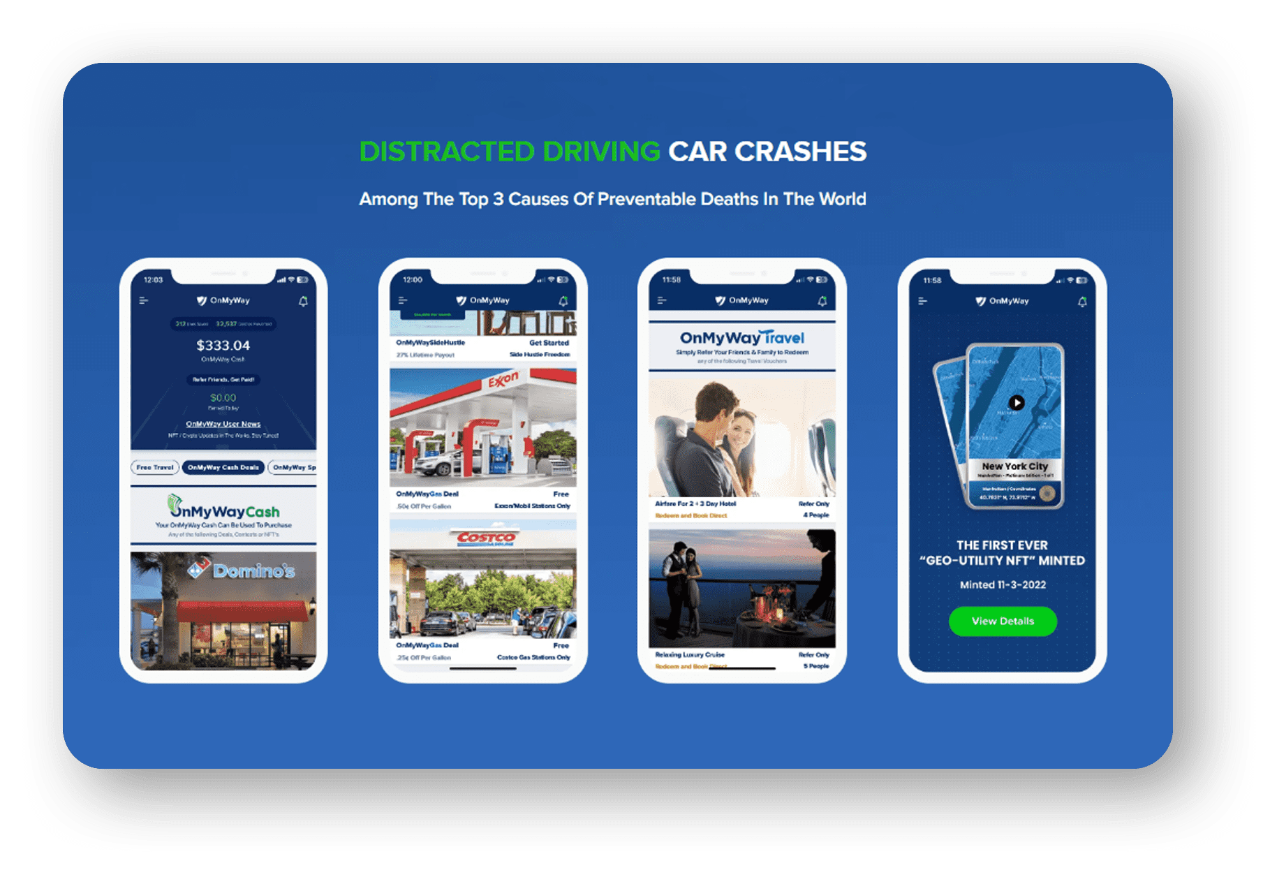
OnMyWay’s mission is to reverse this epidemic through positive rewards. Users get paid for every mile they do not text and drive and can refer their friends to get compensated for them as well.
The money earned can then be used for Cash Cards, Gift Cards, Travel Deals and Much, Much More….
The company also makes it a point to let users know that OnMyWay does NOT sell users data and only tracks them for purposes of providing a better experience while using the app.
The OnMyWay app is free to download and is currently available on both the App Store for iPhones and Google Play for Android @ OnMyWay; Drive Safe, Get Paid.
Download App Now – https://r.onmyway.com
Sponsors and advertisers can contact the company directly through their website @ www.onmyway.com


