A Flood Watch is in effect for the Piedmont Triad on Saturday afternoon through 8 p.m. on Sunday. National Weather Service meteorologists may add more counties to the Flood Watch as conditions warrant.
A surge of moisture from the Gulf and a steady flow of Atlantic moisture from the North Carolina coast will bring a risk for heavy rainfall during the day Saturday into Sunday.
Saturday through Monday are Impact Days as weather is expected to affect all or part of your day with showers and thunderstorms. Please plan to check weather alerts before traveling this weekend.
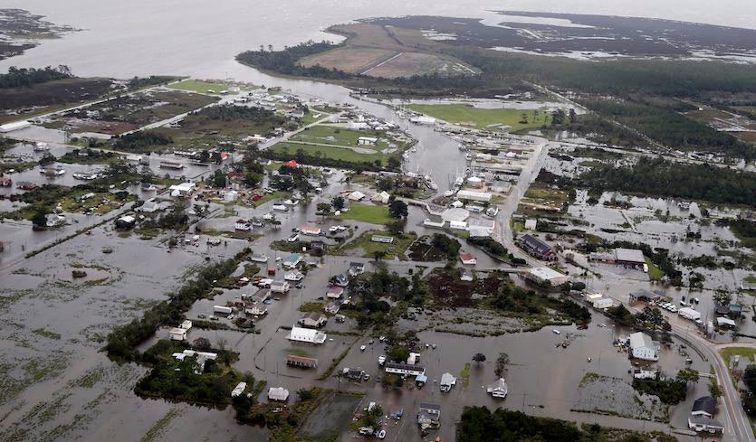
Flooding of creeks and streams as well as flash flooding on Triad roads may develop Saturday afternoon into Sunday.
Please heed flood warnings and never attempt to drive on flooded roads.
Intense moisture transport from the south is likely with an upper level low pressure system in the right position over the Southeast, a ridge of high pressure over the Atlantic, and a surface warm front lifting north toward Virginia by Sunday. Convergence and small storms higher overhead that we refer to as shortwaves, will enhance rainfall chances and may bring torrential downpours. Those shortwaves are upper level fronts that encourage warm rising air at the surface to lift more efficiently.
TIMING
- Overnight into Saturday morning: Light rainfall develops with some moderate showers possible through the middle of the morning Saturday.
- Midday Saturday: Periods of light rain and mist develop into steady showers with heavy rainfall developing into the evening hours. Brief breaks in the rain are possible, but rain is expected to intensify into the afternoon.
- Late Saturday evening-overnight: Rain and isolated thunderstorms are expected to bring rounds of torrential downpours through Sunday morning. Excessive runoff into creeks and streams may cause sharp water level rises leading to low-lying flooding.
- Sunday morning-noon Sunday: Waves of heavy rainfall may begin to pivot North as the warm front begins lifting toward Virginia. Rain breaks are expected midday Sunday with some cloud thinning.
- Sunday afternoon-evening: Scattered thunderstorms are likely with heavy rainfall threats returning where storms may move overhead from the High Country to the Foothills, and into the Piedmont Triad.
RAINFALL TOTALS
The National Weather Service offers a quick view of area streams, creeks, and river rises on the Advanced Hydrologic Prediction Service link for North Carolina and Virginia. Once you click on the link below, choose a point on the map that is close to your location to monitor local water levels:
LocalNCVARiverLevels
The North Carolina State Climate Office also has a suite of products available to residents interested in finding out nearby temperatures and rainfall totals. Click on the link below to explore your location or other cities in North Carolina:
NCStateClimateOfficeWeatherStationScout
OVERVIEW
OnMyWay Is The #1 Distracted Driving Mobile App In The Nation!
OnMyWay, based in Charleston, SC, The Only Mobile App That Pays its Users Not to Text and Drive.
The #1 cause of death among young adults ages 16-27 is Car Accidents, with the majority related to Distracted Driving.
OnMyWay’s mission is to reverse this epidemic through positive rewards. Users get paid for every mile they do not text and drive and can refer their friends to get compensated for them as well.
The money earned can then be used for Cash Cards, Gift Cards, Travel Deals and Much, Much More….
The company also makes it a point to let users know that OnMyWay does NOT sell users data and only tracks them for purposes of providing a better experience while using the app.
The OnMyWay app is free to download and is currently available on both the App Store for iPhones and Google Play for Android @ OnMyWay; Drive Safe, Get Paid.
Download App Now – https://r.onmyway.com
Sponsors and advertisers can contact the company directly through their website @ www.onmyway.com