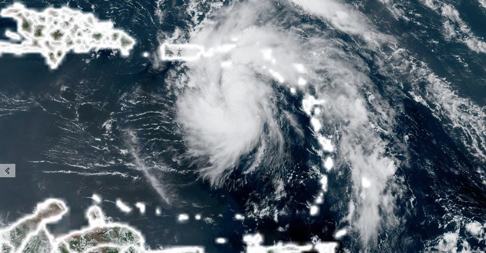
Despite looking disorganized on satellite, the tropical depression may strengthen back into a tropical storm before impacting Florida as soon as early Saturday, the National Hurricane Center predicts. All while, the next named system that could impact the US is forming in the Atlantic.
The forecast for Fred prompted tropical storm warnings Friday for the southwest Florida coast, including Key West and Naples. A tropical storm warning means tropical storm conditions are expected somewhere within the warning area within 36 hours.
The warnings stretch from the Florida Keys west of Ocean Reef to the Dry Tortugas and all of Florida Bay. A tropical storm watch covers the southwest coast of Florida from Englewood south and east to Ocean Reef.
Fred on Friday afternoon was along the northern coast of Cuba with winds of 35 mph.
From there, “the storm should track just north of eastern and central Cuba through tonight and near or across the Florida Keys on Saturday,” says the National Hurricane Center.
Florida Gov. Ron DeSantis issued a State of Emergency Friday for 23 counties, including Bay, Calhoun, Citrus, Dixie, Escambia, Franklin, Gadsden, Gilchrist, Gulf, Holmes, Jackson, Jefferson, Lafayette, Leon, Levy, Liberty, Manatee, Okaloosa, Santa Rosa, Taylor, Wakulla, Walton and Washington counties.
After passing the Keys, the storm should move into the Gulf of Mexico and toward Florida’s Big Bend. Some computer models show Fred moving into the Florida Peninsula, while others put it as far west as the Alabama-Florida border.
“The models continue to show a slow strengthening of Fred before making landfall in the eastern panhandle or Big Bend area of Florida,” CNN meteorologist Chad Myers said midmorning Friday. “None of the global models take Fred to hurricane strength, but we all too often watch rapid intensification with Gulf of Mexico storms.”


