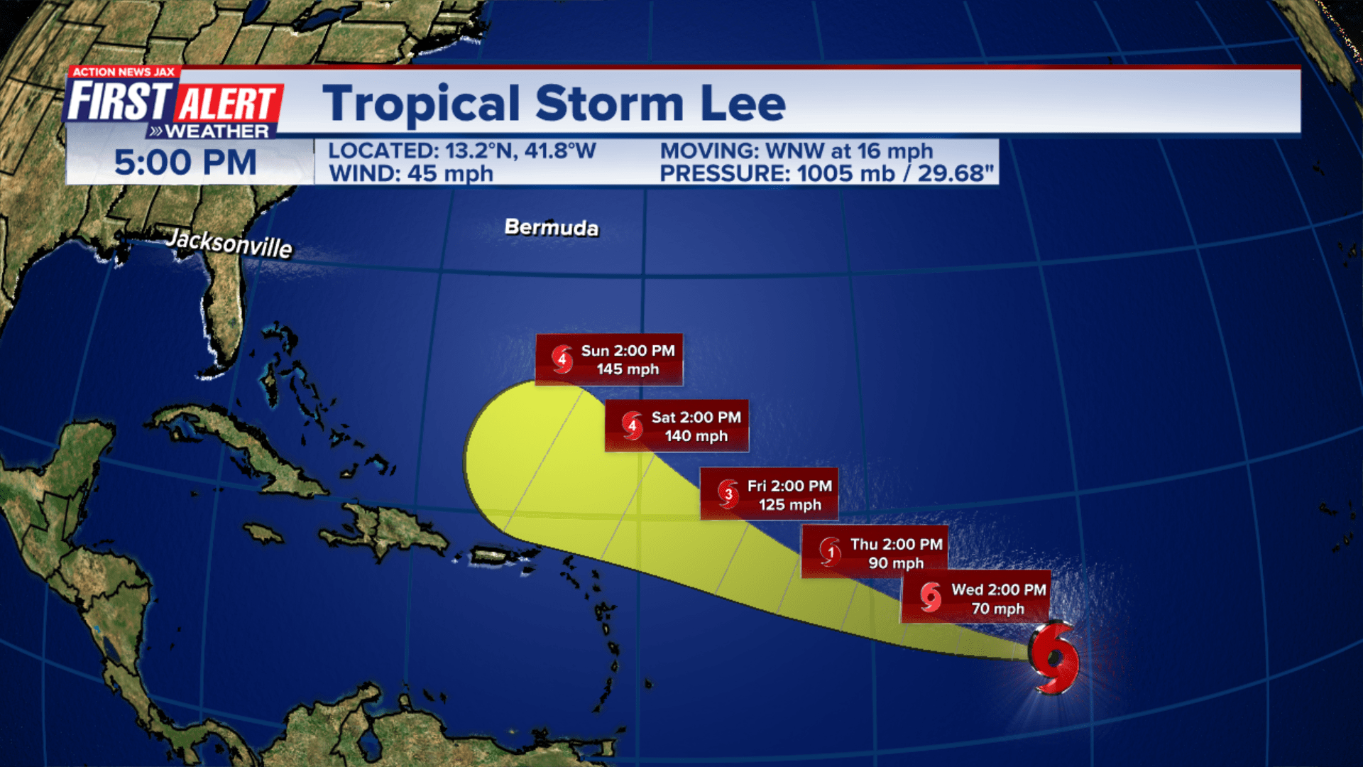
Tropical Storm Lee has formed in the Atlantic and is forecast to become a hurricane by Wednesday, the National Hurricane Center reported Tuesday night.
The center of Tropical Storm Lee formed between Western Africa and the Windward Islands. It was moving west-northwest at 16 mph Tuesday night, according to the hurricane center, and was located about 1,230 miles east of the Lesser Antilles. It has maximum sustained winds of 50 mph.
Lee was “expected to rapidly intensify into an extremely dangerous hurricane by the weekend,” the hurricane center said. It was forecast to become a hurricane by Wednesday night, and a “major hurricane” by Friday.
This already is a 5 mph increase from the NHC’s initial advisory earlier in the day. The reason for the higher wind speed is the above-average water temperatures in the area of the Atlantic where the storm is set to be. “The system should be moving over record-warm waters east of the Lesser Antilles.” Forecasters say those kinds of water temperatures are what they typically see in the Gulf of Mexico — not in the much cooler ocean.
This forecast – so far out in the Atlantic – with a prediction of strengthening this quickly is unusual. Still, it’s too early to say with any certainty exactly where this storm will go.
It’s too soon to know whether this system will directly impact the US mainland, but even if the hurricane stays out at sea, dangerous surf and rip currents could once again threaten the East Coast. One person was killed in a rip current in New Jersey over the Labor Day weekend.
Lee became a tropical storm Tuesday after forming earlier in the morning in the central tropical Atlantic and moving through extremely warm waters, according to the National Hurricane Center, which predicts the storm will strengthen rapidly.
Rapid intensification is when a storm’s winds strengthen quickly over a short amount of time. Scientists have defined it as a wind speed increase of at least 35 mph in 24 hours or less – a phenomenon aided by warm ocean waters.
As Lee moves steadily west-northwest this week, it will enter conditions increasingly favorable for strengthening: Plenty of moisture, low wind shear and abnormally warm water stretch nearly the entire length of the potential cyclone’s projected path.
Sunday, September 10, is the climatological peak of Atlantic hurricane season, when the basin is at its busiest on average. A flurry of tropical activity surrounding this date is not out of the ordinary, but it can turn hazardous fast.
The 2023 Atlantic season has already been busy: It is tracking above average for a number of different metrics including number of named storms, number of hurricanes and number of major hurricanes, according to Philip Klotzbach a research scientist at Colorado State University.
Many of the models forecasters use indicate that the hurricane is likely to head northward in the Atlantic, but not all. Any bump westward in the track could be disastrous for the Atlantic Coast anywhere from Florida to Nova Scotia.
Latest indications suggest the storm track could vary across a wide swath spanning from the coast northward to eastern Canada, or even skirt away from the coast entirely, AccuWeather said.
According to Weather.com meteorologist Jonathan Erdman, “a combination of factors will determine where the hurricane eventually goes” as it makes its way across the Atlantic.
This includes how strong and expansive the Bermuda-Azores high-pressure area is at the time. “This acts as a steering wheel for tropical waves, storms and hurricanes in the tropics,” Erdman said. If the high is weaker, Lee may just recurve out to sea. If it’s stronger, then the storm could impact the East Coast of the U.S.
OVERVIEW
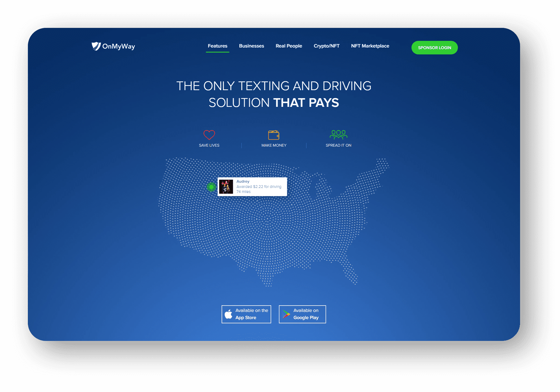
OnMyWay Is The #1 Distracted Driving Mobile App In The Nation!
OnMyWay, based in Charleston, SC, The Only Mobile App That Pays its Users Not to Text and Drive.
The #1 cause of death among young adults ages 16-27 is Car Accidents, with the majority related to Distracted Driving.
OnMyWay’s mission is to reverse this epidemic through positive rewards. Users get paid for every mile they do not text and drive and can refer their friends to get compensated for them as well.
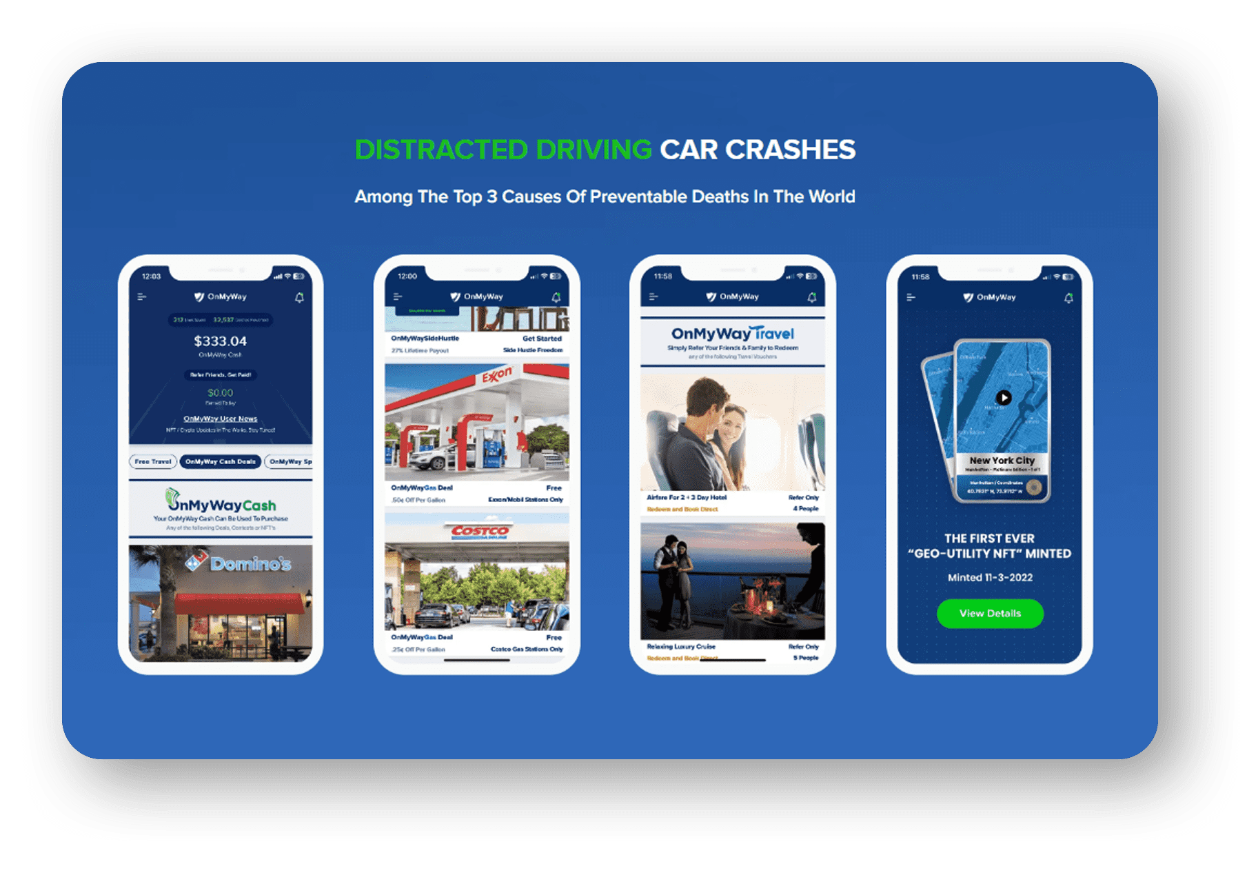
The money earned can then be used for Cash Cards, Gift Cards, Travel Deals and Much, Much More….
The company also makes it a point to let users know that OnMyWay does NOT sell users data and only tracks them for purposes of providing a better experience while using the app.
The OnMyWay app is free to download and is currently available on both the App Store for iPhones and Google Play for Android @ OnMyWay; Drive Safe, Get Paid.
Download App Now – https://r.onmyway.com
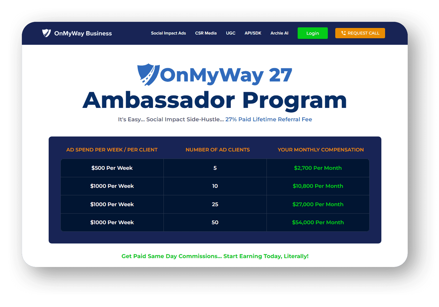
Sponsors and advertisers can contact the company directly through their website @ www.onmyway.com

OnMyWay is the Only Texting and Driving Solution That Pays
Trusted and 


